
27 May 2014
How many Cabarrus people know where to find Johnston’s River, Red Creek and Beaver Dam Creek? According to various deeds and other Local History sources, these are earlier names for watercourses more familiar to us today as Rocky River, Clear Creek and Caldwell Creek. Other Cabarrus County streams with name variations include Cattail Creek or Cattail Swamp on Dutch Buffalo Creek; Frog or Flag Run on Footy Creek; and Plum Run or Plum Branch flowing into Hamby’s Branch and Rocky River.
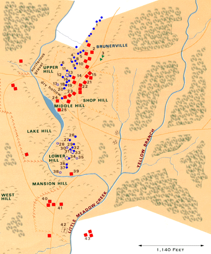
Records of the late Miss Adelaide Lore list several other interesting names that may or may not be familiar to local folks. Butcher’s Branch is in Township 8 (Mount Pleasant area); both Captain’s Branch and Purgatory Branch are in Township 2 in western Cabarrus (Poplar Tent area). How about Wet Foot Branch and Yellow Branch, both in Township 9 (Reed Gold Mine area). In fact, Yellow Branch is located on the old Reed Mine tract. Perhaps there were traces of yellow gold to be seen there two hundred years ago. Does anyone know the locations of Biery Creek, Loop Run or Turtle Creek?
Some, but not all, of these streams are named on the Hydrographic Map of Cabarrus County. Additional information comes from Cabarrus County deeds, William S. Powell’s North Carolina Gazetteer and other Local History sources.
Courtesy of the Cabarrus County Public Library, Lore Local History Room.